Back to data catalog
Tree • Plantation • Plnated Trees • Soy • Palm Oil • Forestry • Tree Cover • Planted Forest
The Spatial Database of Planted Trees (SDPT) v2.0 maps planted forests and agricultural tree crops across 158 countries. It enables users to distinguish between planted and natural forests using satellite-derived datasets and harmonized classifications.
OpenAPI Spec
Explore the OpenAPI spec for Spatial Database of Planted Trees (SDPT) v2.0
Documentation
Explore the documentation for Spatial Database of Planted Trees (SDPT) v2.0
The Spatial Database of Planted Trees (SDPT) was compiled by Global Forest Watch using data obtained from national governments, non-governmental organizations, and independent researchers. In version 2.0 (v2.0), data were compiled for 158 countries globally, with most maps derived from supervised classification or manual delineation of Landsat, SPOT, or RapidEye satellite imagery.
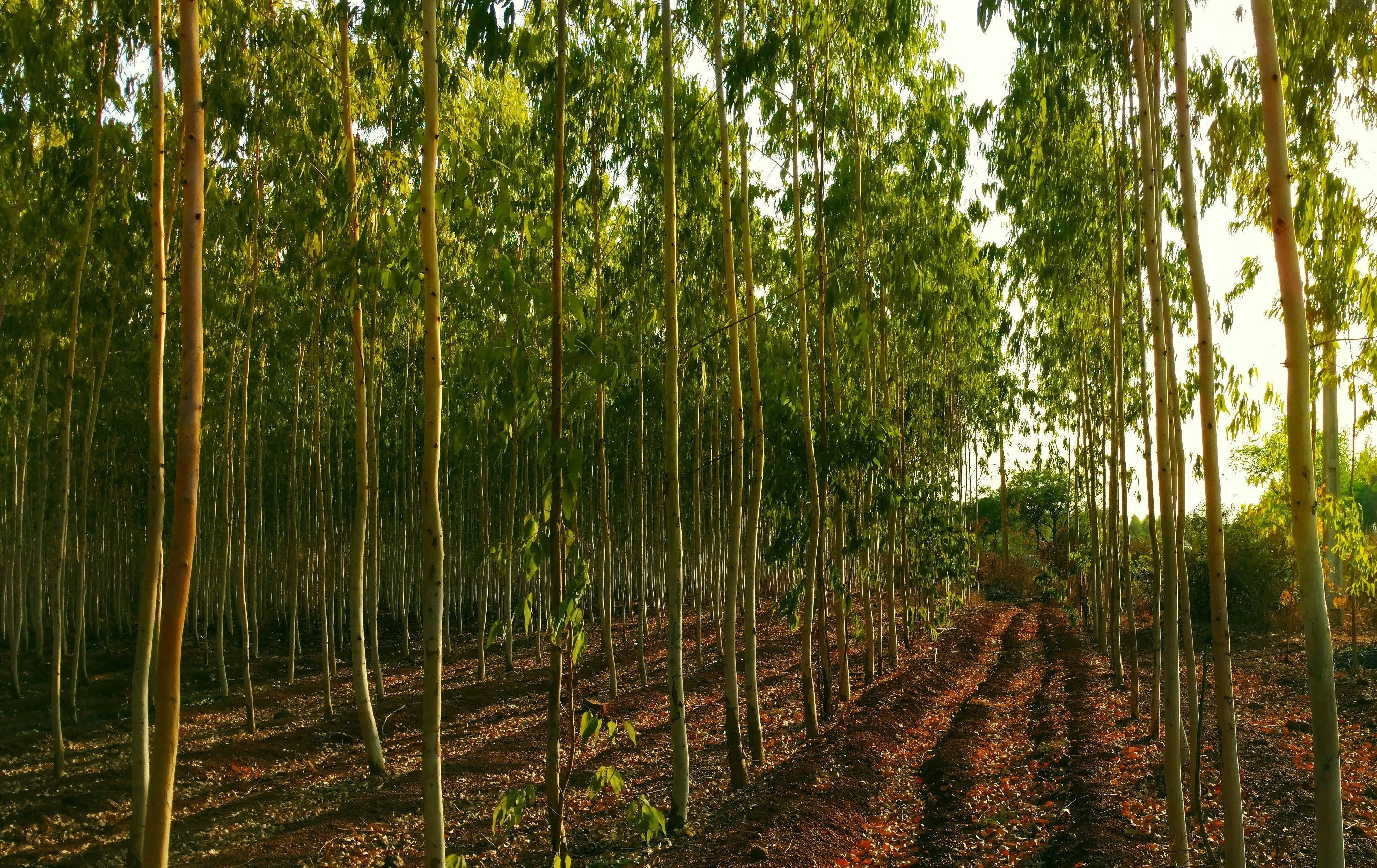
The SDPT defines planted trees to include planted forests and stands of trees grown for wood and fiber production or for ecosystem protection (e.g., against wind or soil erosion). It also includes perennial tree crops such as rubber, oil palm, coffee, coconut, cocoa, and orchards.
This database allows the identification and monitoring of planted forests and tree crops independently from natural forest cover changes. The SDPT v2.0 contains:
Compilation involved cleaning and processing each dataset and creating a harmonized attribute table. The data is available for download for all countries except Papua New Guinea.
Spatial Resolution
Polygon
The World Resources Institute (WRI) is a global research organization focused on sustainable development and environmental protection. WRI works on issues like climate, energy, food, and forests helping governments and businesses make informed, sustainable choices.
Global Forest Watch is an online platform that provides data and tools for monitoring forests worldwide in near real-time. It helps governments, companies, and the public track deforestation, forest degradation, and land use change using satellite technology and open data. The platform is led by the World Resources Institute (WRI), which promotes transparency to support forest protection and climate action.