Back to data catalog
forest • tree cover • deforestation
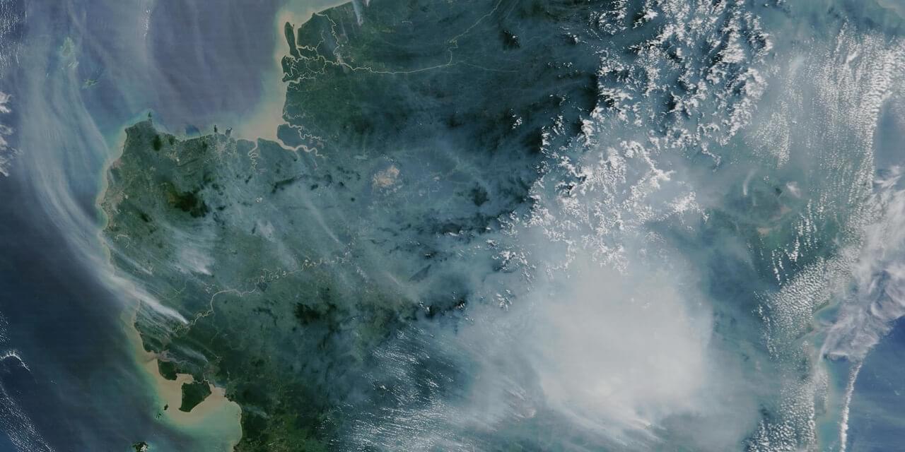
The Tree Cover Loss dataset measures areas of tree cover loss across all global land (except - Antarctica and other Arctic islands) at approximately 30 × 30 meter resolution.
The dataset highlights global patterns of tree cover loss, providing annual data starting from 2001. This layer reveals where forests have been cleared or significantly degraded, whether due to logging, agriculture, fires, or other human and natural causes.
The data can be visualized at both global and regional scales, making it possible to assess how different areas contribute to overall forest decline. This is particularly useful for evaluating the impact of land use practices, development pressures, and policy effectiveness across borders.
Spatial Resolution
30m x 30m
The Global Land Analysis and Discovery (GLAD) team at the University of Maryland focuses on monitoring global land cover and forest change using satellite data. Their work supports conservation, climate research, and sustainable land-use planning by providing high-resolution, timely environmental data.
Google is a global technology company that develops tools and infrastructure for searching, accessing, and analyzing information. Its platforms, such as Google Earth Engine, support large-scale data processing and are widely used in fields like environmental monitoring, geospatial analysis, and research.
The National Aeronautics and Space Administration (NASA) is the U.S. government agency responsible for space exploration, scientific discovery, and aeronautics research. Founded in 1958, NASA leads missions to explore space, study Earth and other planets, and develop cutting-edge technology to advance knowledge and innovation.