Back to data catalog
Natural Forest • Tree Cover • Land Cover • Non-Natural Tree Cover
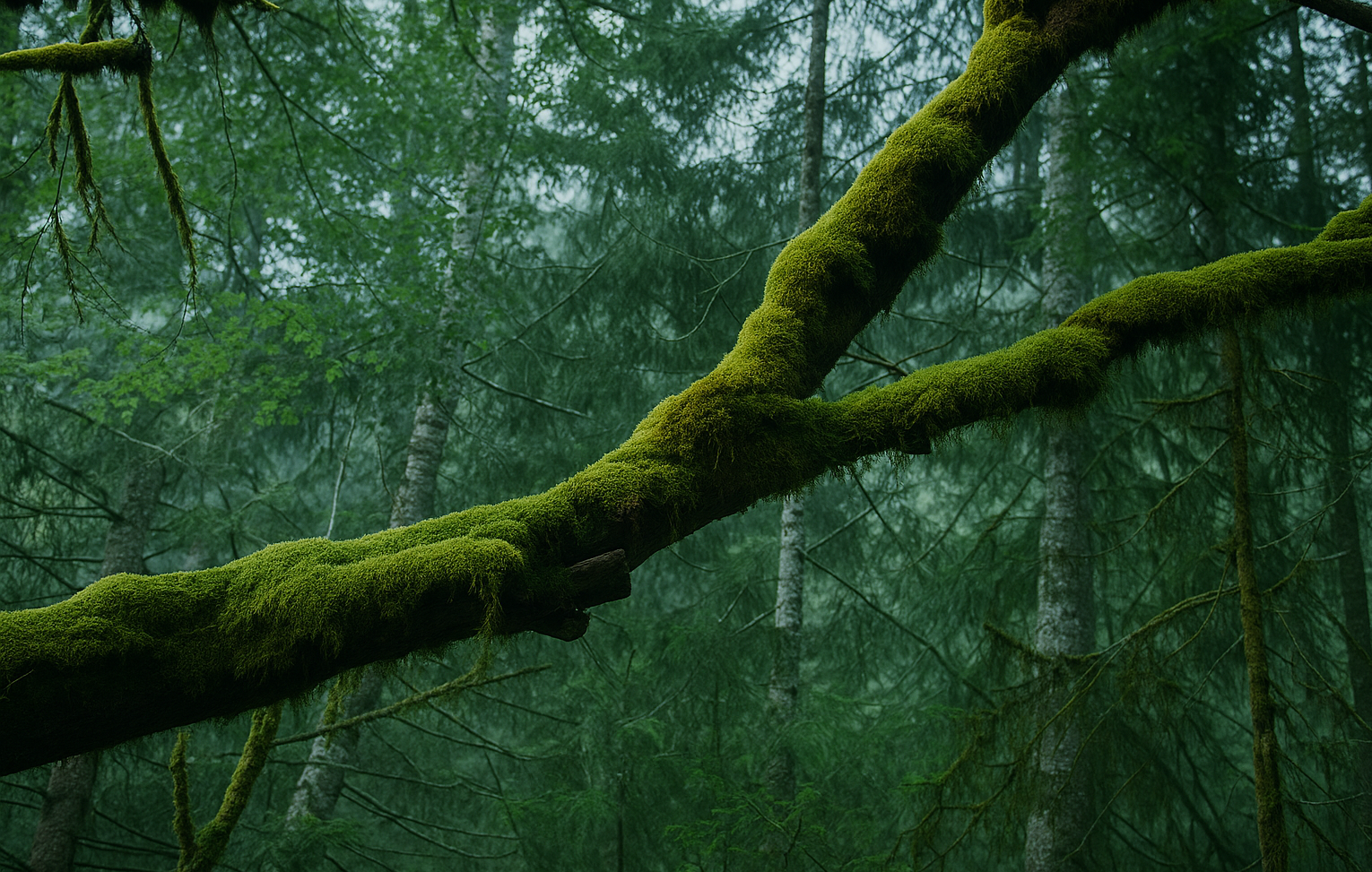
This dataset displays the extent of natural forest and non-natural tree cover in 2020, drawing from the relevant classes delineated in the Science Based Targets Network 2019s (STBN) Natural Lands Map.
OpenAPI Spec
Explore the OpenAPI spec for Natural Forest map
Git Repository
Explore the source code behind Natural Forest map
Documentation
Explore the documentation for Natural Forest map
This dataset displays the extent of natural forest and non-natural tree cover in 2020, drawing from the relevant classes delineated in the Science Based Targets Network’s (STBN) Natural Lands Map
Definitions of natural ecosystems and forests published by the Accountability Framework Initiative (AFi) and Food and Agriculture Organization (FAO) were adopted to develop the map. Here, forests are defined as land spanning more than 0.5 hectares that is dominated by trees greater than 5 meters in height and a canopy cover of more than 10 percent.
A natural forest is defined as one that resembles – in terms of species composition, structure, and ecological function – what would be found in a given area absent major human impacts. However, AFi guidance states that thresholds established by national and sub-national forest definitions may take precedence, and regional maps of land cover were given priority over global data.
Users should refer to the technical documentation for more details on the input data used to develop the map as well as its limitations.
Spatial Resolution
30m x 30m
The Science Based Targets Network (SBTN) is a global collaboration of environmental organizations working to define science-based targets for nature. It helps companies and cities set measurable goals to reduce their impacts on biodiversity, freshwater, land, and oceans in line with Earth’s ecological limits.
Global Forest Watch is an online platform that provides data and tools for monitoring forests worldwide in near real-time. It helps governments, companies, and the public track deforestation, forest degradation, and land use change using satellite technology and open data. The platform is led by the World Resources Institute (WRI), which promotes transparency to support forest protection and climate action.
The World Resources Institute (WRI) is a global research organization focused on sustainable development and environmental protection. WRI works on issues like climate, energy, food, and forests helping governments and businesses make informed, sustainable choices.