Back to data catalog
super resolved • satellite • raster • map
Provides Super Resolved Sentinel 2 Raster images limited to the country of Brazil
Git Repository
Explore the source code behind OpenEPI Super Resolved Sentinel 2 Raster
Download
Download OpenEPI Super Resolved Sentinel 2 Raster
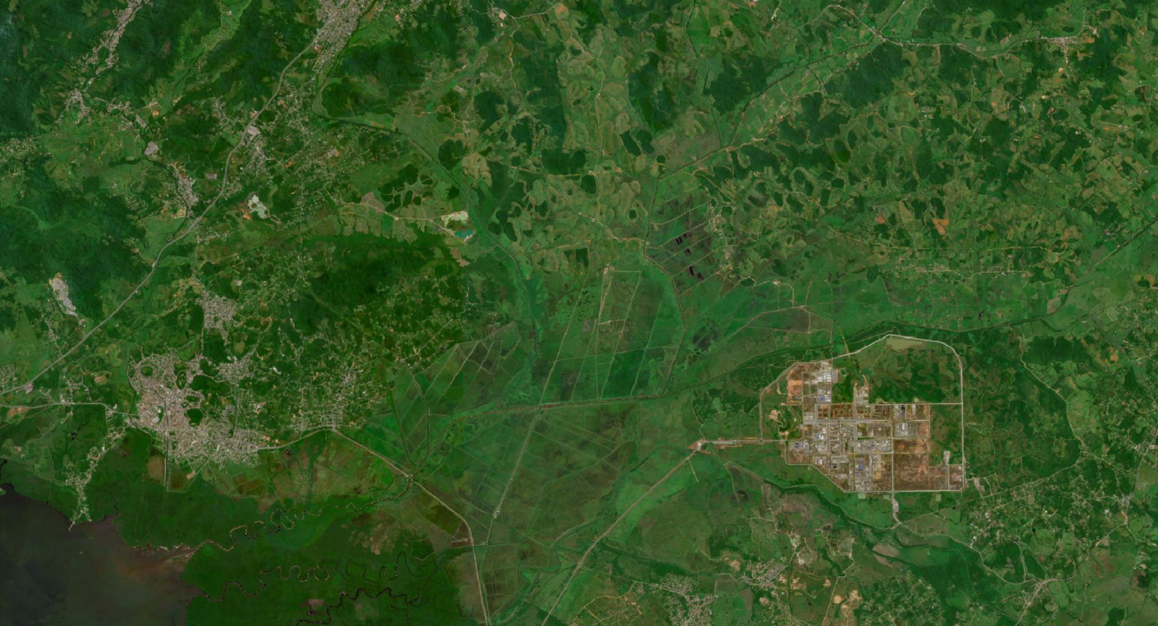
Sentinel 2 is a set of satellites operated by the ESA which provides regular, free satellite images at 10 meter resolution. They also provide cloudless mosaics once every quarter. These are the baseline images we use in our mapping services.
Our super resolved images are upscaled from 10 meter resolution to 5 meters. This provides clearer and more accurate images for image analysis tasks. The code for the image upscaling is of course open-source and available at this repo.
For now, the satellite images are restricted to Brazil only. All original satellite photos were taken in the first quarter of 2023. In the future, we hope to provide both images on a worldwide scale and images from before and after 2023.
OpenEPI provides WMS and WMTS services for Super Resolved Sentinel 2 raster. Per now, the raster is limited to the country of Brazil. The raster can be accessed on our Geoserver, with a layer preview available here.
Spatial Resolution
5m x 5m
OpenEPI is an initiative to drive local innovation globally. Open data, AI, and digital technologies will be crucial catalysts for collaboration, innovation, and informed decision-making in addressing climate change – building resilience and preparing for climate mitigation in agriculture and fisheries.
The European Space Agency (ESA) is an intergovernmental organization dedicated to space exploration, Earth observation, and technological innovation. ESA coordinates space missions and scientific research across its 22 member states, working closely with partners like the EU, NASA, and private industry.