Back to data catalog
Forest • Deforestation • Alert • Deforestation Alert • Near Real Time • Tree • RADD • GLAD-L • GLAD-S2
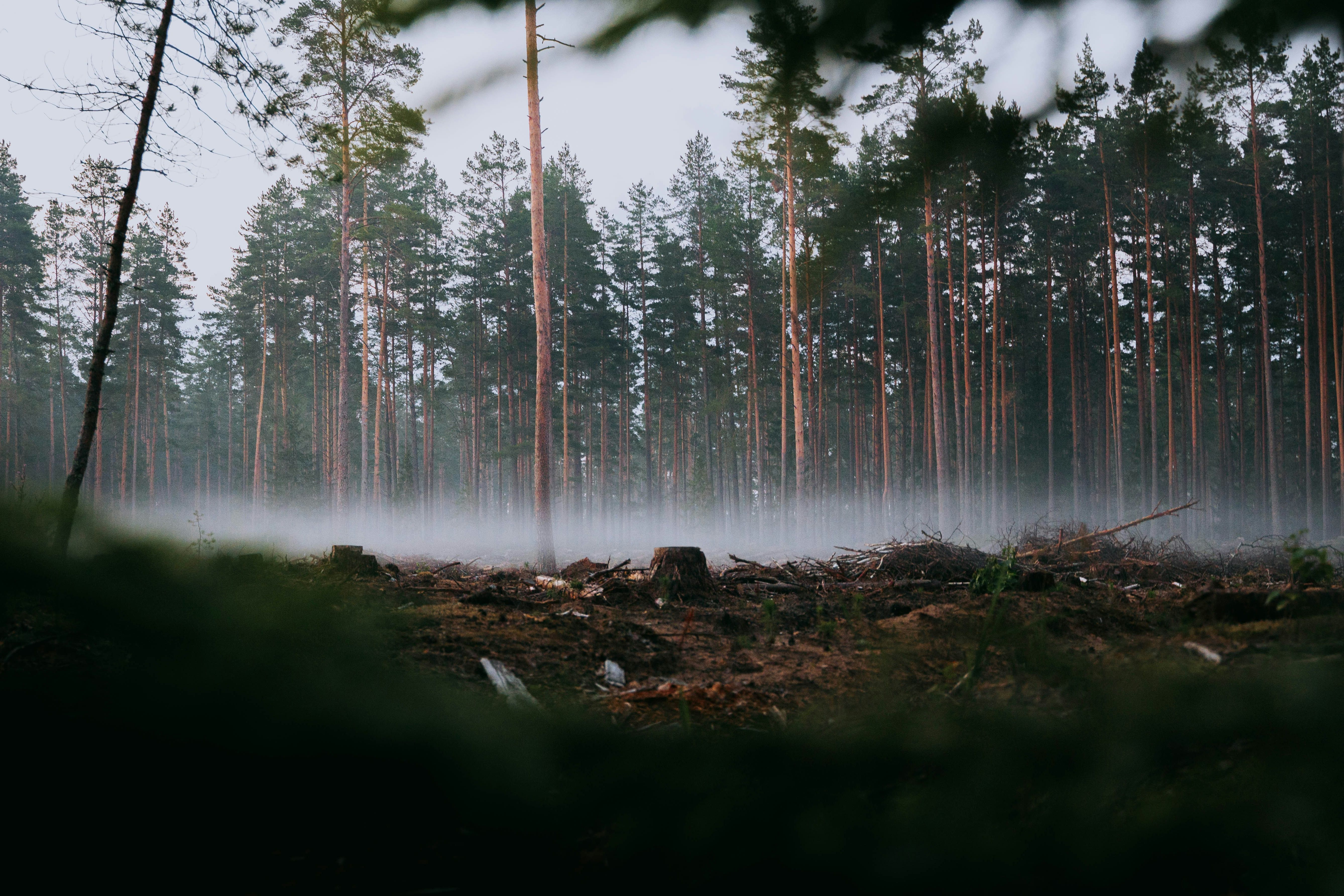
The Integrated Deforestation Alerst aggregates deforestation alerts from three alert systems (GLAD-L, GLAD-S2, RADD) into a single, integrated deforestation alert layer. This integration allows users to detect deforestation events faster than any single system alone, as the integrated layer is updated when any of the source alert systems are updated.
OpenAPI Spec
Explore the OpenAPI spec for Integrated Deforestation Alerts
Documentation
Explore the documentation for Integrated Deforestation Alerts
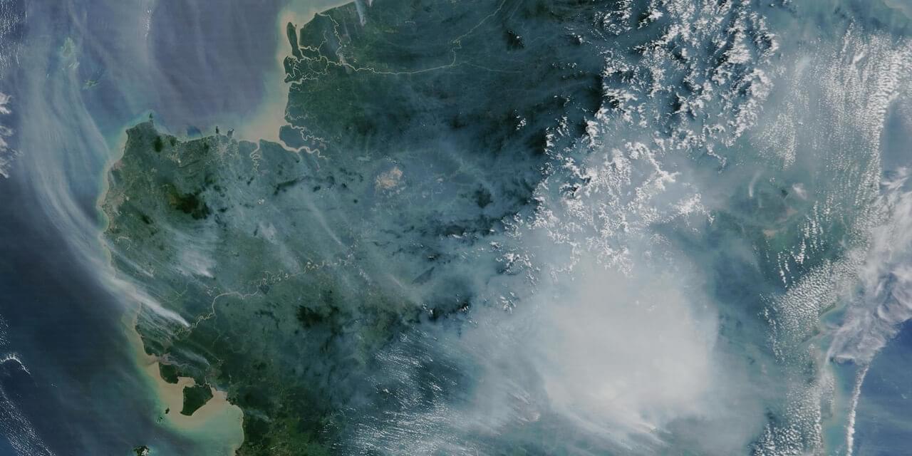
By harmonizing data from different sources, the system improves detection accuracy and reduces latency, offering users more timely and reliable forest change information. Alerts are generated using optical and radar satellite imagery and are updated as frequently as every few days.
The dataset supports proactive forest monitoring, allowing governments, NGOs, and companies to respond swiftly to illegal deforestation, fire damage, and infrastructure-driven forest encroachment. Each alert includes spatial coordinates, timestamp, alert source, and confidence metrics.
Ideal for use in deforestation early warning systems, land-use change tracking, law enforcement tools, and supply chain monitoring platforms.
Spatial Resolution
10m x 10m
The World Resources Institute (WRI) is a global research organization focused on sustainable development and environmental protection. WRI works on issues like climate, energy, food, and forests helping governments and businesses make informed, sustainable choices.
Global Forest Watch is an online platform that provides data and tools for monitoring forests worldwide in near real-time. It helps governments, companies, and the public track deforestation, forest degradation, and land use change using satellite technology and open data. The platform is led by the World Resources Institute (WRI), which promotes transparency to support forest protection and climate action.