Back to data catalog
NRT • vegetation disturbance • Land cover monitoring • change detection
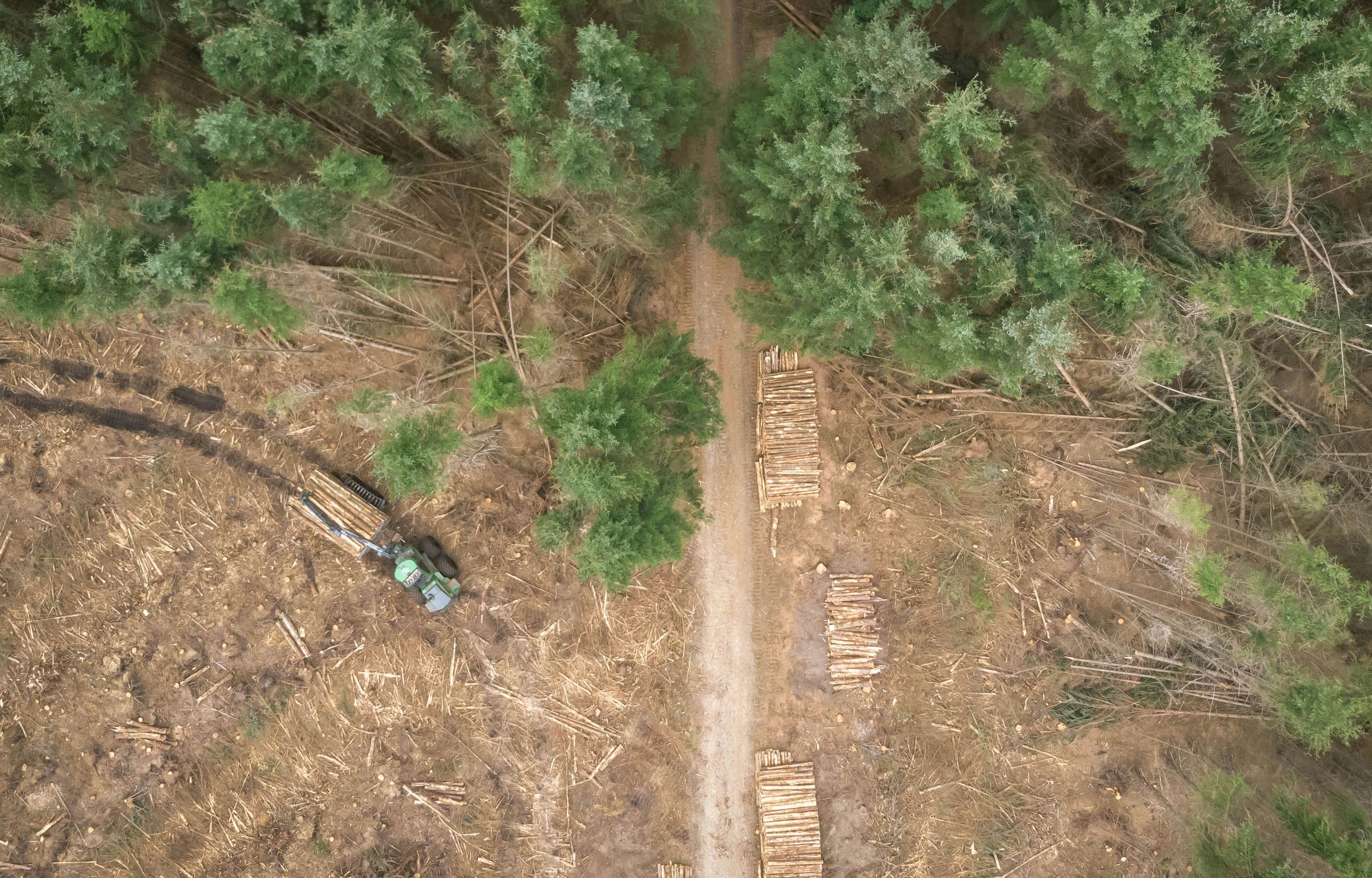
DIST Alerts are near real-time vegetation disturbance alerts developed by the GLAD Lab at the University of Maryland. They detect land cover changes across all ecosystems using satellite imagery, helping track degradation beyond forests alone.
Documentation
Explore the documentation for DIST alerts (all-ecosystem vegetation disturbance alerts)
Download
Download DIST alerts (all-ecosystem vegetation disturbance alerts)
DIST Alerts (Degradation Identification through Satellite Time Series) are high-frequency vegetation disturbance signals developed by the GLAD Lab at the University of Maryland. Unlike traditional forest monitoring systems, DIST provides ecosystem-agnostic alerts, enabling degradation tracking across forests, grasslands, wetlands, and savannas.
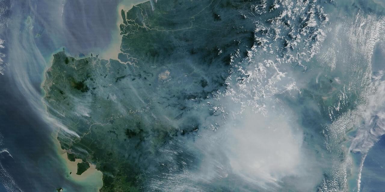
The alerts are generated using a robust time-series analysis of Sentinel-2 imagery, offering 10–20 meter spatial resolution and updates as frequently as every 3–7 days, depending on cloud-free observations. This enables developers to monitor abrupt changes in vegetation condition with minimal latency.
The system flags areas exhibiting significant deviation from seasonal vegetation baselines, making it especially useful for early warning systems, fire impact assessments, drought monitoring, and detecting encroachment or illegal activity in conservation zones.
DIST Alerts are available via the Global Forest Watch APIs and as downloadable raster tiles, making them suitable for integration into custom dashboards, automated alerting systems, or spatial analytics pipelines.
The dataset is ideal for environmental monitoring platforms, land-use change modeling, or real-time conservation applications where multi-ecosystem sensitivity is critical.
Spatial Resolution
30m x 30m