Back to data catalog
Forest Change • Deforestattion • Forest
A statistical analysis identifying and categorizing tropical primary forest loss hot spots from 2002–2023 using high-resolution satellite data and geospatial clustering tools.
Due to the increasing size and complexity of global forest monitoring data sources, analysis and interpretation tools for this data are ever more important for intervention efforts, allowing for the quick identification and interpretation of significant forest loss.
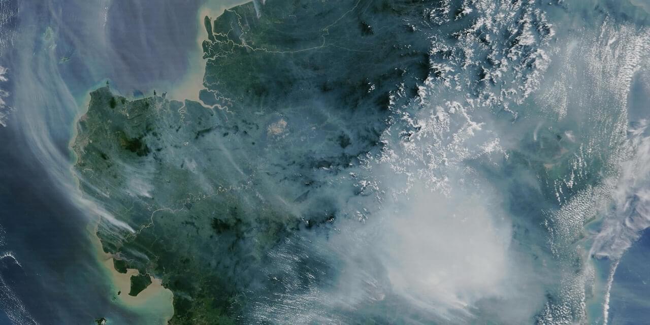
The emerging hot spots dataset identifies the most significant clusters of primary forest loss between 2002–2023 at a country-level basis across tropical regions. A hot spot is defined as an area that exhibits statistically significant clustering in the spatial patterns of loss. In this analysis, observed patterns of forest loss are attributed to underlying spatial processes rather than random distribution.
This analysis uses the annual Hansen et al. (2013) tree cover loss dataset (2002–2023), the Turubanova et al. (2018) primary forest extent data for 2001, and the ESRI ArcGIS Emerging Hot Spot Analysis tool.
Primary forest is defined as mature natural humid tropical forest cover that has not been completely cleared and regrown in recent history. Forest loss is defined as “stand replacement disturbance,” or the complete removal of tree cover at the Landsat pixel scale.
The analysis employs two statistical methods:
Accuracy: User’s accuracy is 87%, and producer’s accuracy is 83.1% across the tropical biome. As the analysis is performed on a country-by-country basis, results are relative to each country and should not be compared directly across countries. Please exercise caution when interpreting results at the global level.
Spatial Resolution
30m x 30m
The World Resources Institute (WRI) is a global research organization focused on sustainable development and environmental protection. WRI works on issues like climate, energy, food, and forests helping governments and businesses make informed, sustainable choices.
Global Forest Watch is an online platform that provides data and tools for monitoring forests worldwide in near real-time. It helps governments, companies, and the public track deforestation, forest degradation, and land use change using satellite technology and open data. The platform is led by the World Resources Institute (WRI), which promotes transparency to support forest protection and climate action.