Back to data catalog
Forest • Deforestation • Trees • GLAD • tree cover • land cover
The data shows how much more or less tree cover a given area (country, state/province, or county/municipality) had in 2020 compared to 2000. This is not an annual data set and is displayed as a 20-year cumulative layer with a baseline year of 2000 and end year of 2020.
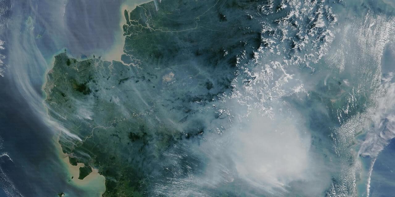
This data set, a collaboration between the GLAD (Global Land Analysis & Discovery) lab at the University of Maryland, Google, USGS, and NASA, measures areas of net tree cover change across all global land (except Antarctica and other Arctic islands) at the administrative area.
The data shows how much more or less tree cover a given area (country, state/province, or county/municipality) had in 2020 compared to 2000. This is not an annual data set and is displayed as a 20-year cumulative layer with a baseline year of 2000 and end year of 2020.
Tree cover change was determined using tree cover extent for the years 2000 and 2020, which are based on tree height information. Tree height was determined by the integration of the Global Ecosystem Dynamics Investigation (GEDI) lidar forest structure measurements and Landsat analysis-ready data time-series.
The World Resources Institute (WRI) is a global research organization focused on sustainable development and environmental protection. WRI works on issues like climate, energy, food, and forests helping governments and businesses make informed, sustainable choices.
Global Forest Watch is an online platform that provides data and tools for monitoring forests worldwide in near real-time. It helps governments, companies, and the public track deforestation, forest degradation, and land use change using satellite technology and open data. The platform is led by the World Resources Institute (WRI), which promotes transparency to support forest protection and climate action.