Back to data catalog
Tropic Tree Cover • Forest • Tree Cover • Urban Tree Cover • Agricultural Tree Cover
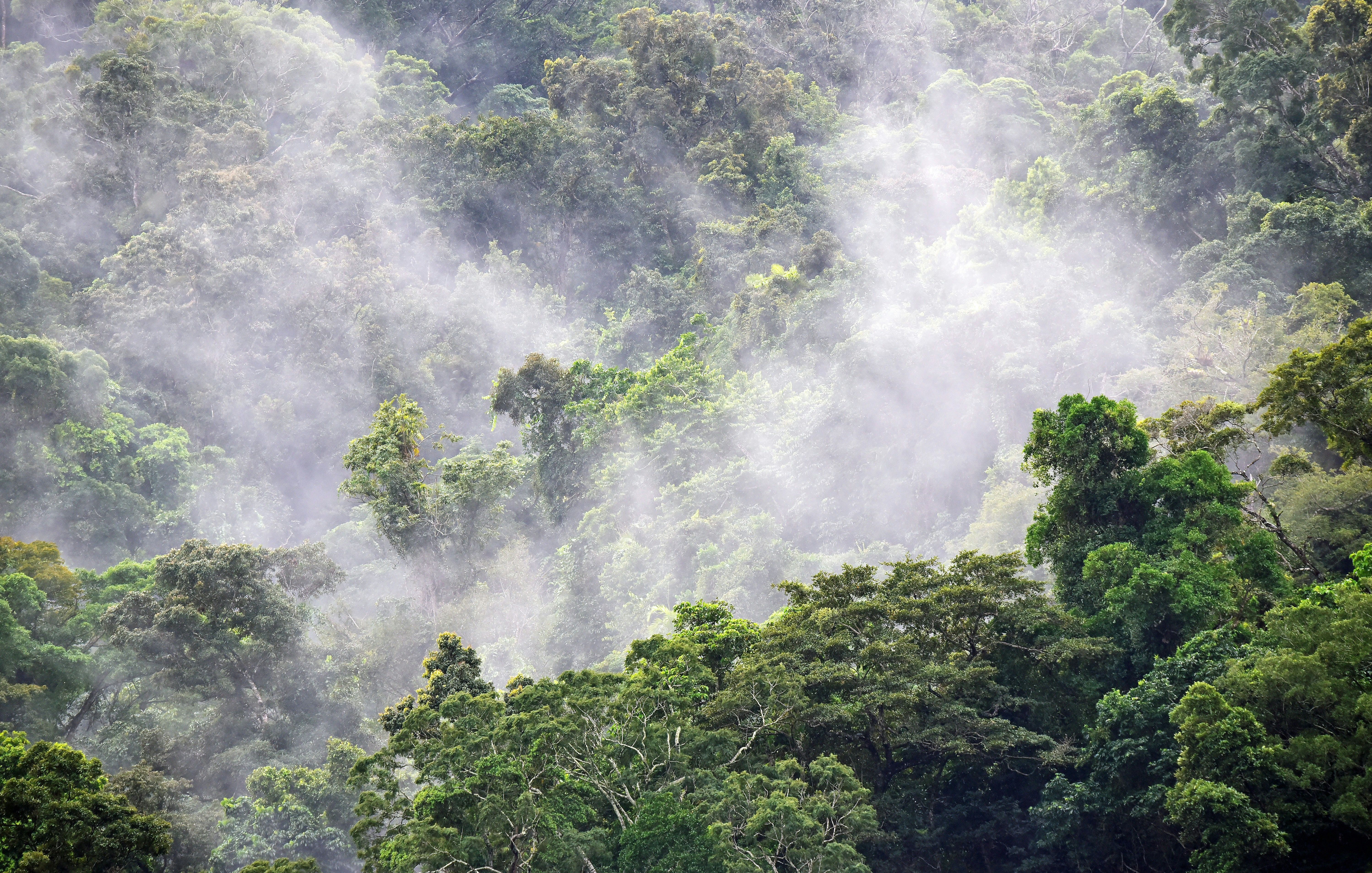
The tropical tree cover data maps tree extent at a 10-meter scale and tree cover at a half-hectare scale to support accurate monitoring of trees in urban areas, agricultural lands, and open canopy or dry forest ecosystems.
OpenAPI Spec
Explore the OpenAPI spec for Tropical Tree Cover
Documentation
Explore the documentation for Tropical Tree Cover
The dataset covers 4.3 billion hectares across the global tropics.It is generated using multi-temporal convolutional neural network models applied to Sentinel optical and radar imagery.
The 10-meter dataset is a binary layer showing tree extent, similar to a land cover map, while the tree cover data shows fractional tree cover at a half-hectare resolution.
Spatial Resolution
10m x 10m
The World Resources Institute (WRI) is a global research organization focused on sustainable development and environmental protection. WRI works on issues like climate, energy, food, and forests helping governments and businesses make informed, sustainable choices.
Global Forest Watch is an online platform that provides data and tools for monitoring forests worldwide in near real-time. It helps governments, companies, and the public track deforestation, forest degradation, and land use change using satellite technology and open data. The platform is led by the World Resources Institute (WRI), which promotes transparency to support forest protection and climate action.